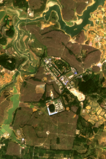
Planet provides access to a daily satellite snapshot of the Earth’s land surfaces and coastal areas at ~4meter resolution. Thanks to the Office of Research for providing 3 years of funding for Planet.
Planet Access
- If you would like a Planet account, please fill out this form.
- Several Labs on campus have their own Planet group. If you would like to create one for your lab, there is an option on the form.
- Please note:
- You will be asked to re-register each spring.
- Planet Labs users are expected to provide the Library with notice when planning grant-funded projects using Planet imagery and when they publish their work.
Planet provides:
- PlanetSat: ~ 4 meter 4- and 8-band satellite images of the entire planet's land surfaces and coasts every day
- The archive goes back to 2015
- 8-band imagery starts in 2021
- Daily images typically appear within 24 hours
- SkySat: a growing archive of .5 m multi-channel imagery
- The archive has a 6-month embargo, ie you will not be able to retrieve 50cm images younger than 180 days
- We have access to custom SkySat tasking (see below)
- Online analysis tools
- Integration with ArcGIS Pro and QGIS
- A simple set of storymap tools
- Access to complex searching and retrieval of imagery and tile services via a RESTful API
SkySat Tasking
- Faculty and graduate researchers, and undergraduates with faculty sponsors, may request Planet SkySat tasking: an on-demand 50cm image taken over a given Area of Interest (AOI)
- Please note: We plan to task the UCSB campus, from Naples to Highway 154 and to the foothills on the north, every 4 months (peak wet, peak vegetation, peak dry), and post the images to ArcGIS Online.
Link to existing campus data - Please provide, via email to dreamlab@library.ucsb.edu:
- Geojson files describing your AOI. One file per site
- A point will deliver a 5x5 km square area
- Overly stretched polygons will likely take multiple passes to fulfill.
- Start and end dates for your task
- The minimum request window is 2 weeks
- Satellites stay on task until a cloud-free image is captured or the request window expires
- A brief description of your research question (< 100 words)
- Geojson files describing your AOI. One file per site
- Criteria for each project:
- We will task up to 16 sites per project
- The minimum AOI is 25 km2
- No one project may take more than 500 km2 in any one year (25% of the quota)
- We may reject tasks at our discretion.
Example Images
Carrizo Plain Superbloom, Spring 2023
Figueroa Mountain Poppy Bloom
(right click for video controls)
Ornamental cherry plantations, Guiyang, China


